


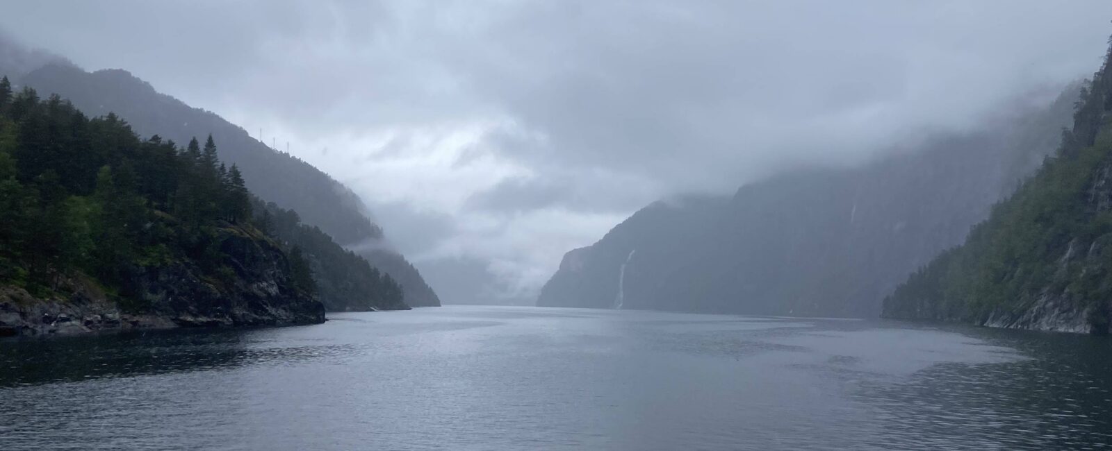
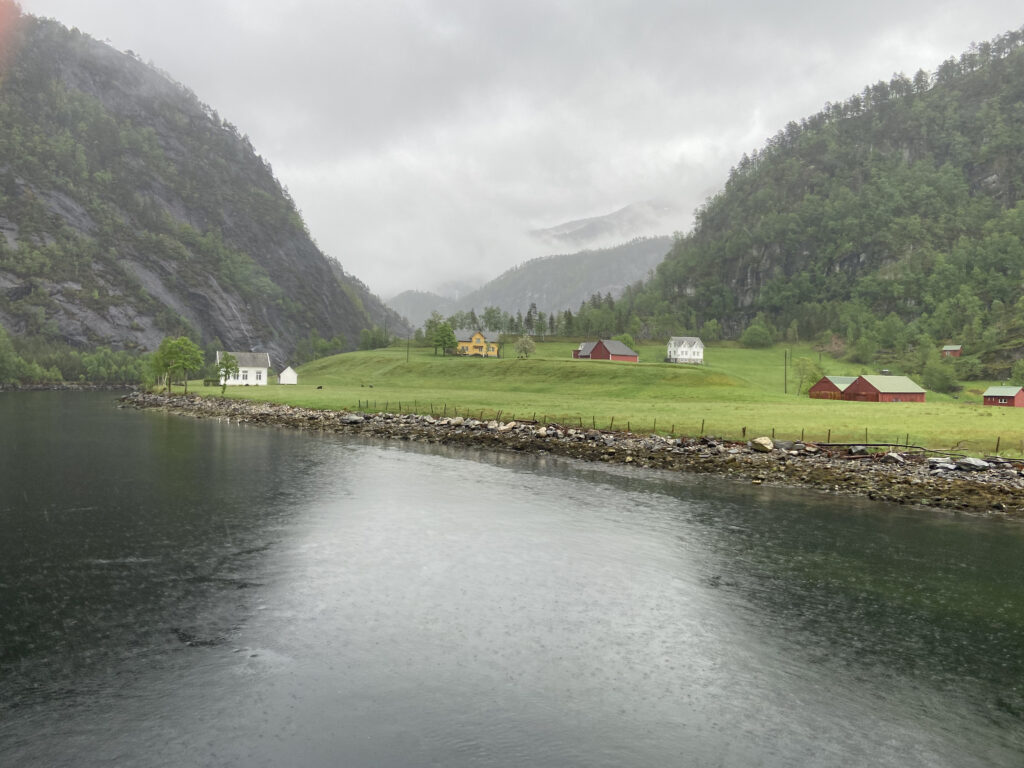
The Sognefjord near Bergen, Norway. Courtesy of Patricia Hoffman
Roseville resident Patricia Hoffman recounts beholding the majesty of Norwegian fjords and geographer Neil G. Lineback describes how they formed
By Neal G. Lineback & Patricia Hoffman
In this new column, Roseville writers introduce pieces by Neal G. Lineback of the American Association of Geographers, originally published in his maps.com column “Geography in the News.” In this edition, Patricia Hoffman recounts seeing the fjords of Norway, introducing Lineback’s 2006 piece on fjords.
For a Minnesotan with Scandinavian heritage, cruising a fjord for the first time is an experience not only of the senses but of a spiritual connection to the past. When I was a child, though I didn’t know my heritage at the time, I loudly proclaimed that I wanted to live “where the mountains touch the sea.” What better place than the Sognefjord near Bergen, Norway.
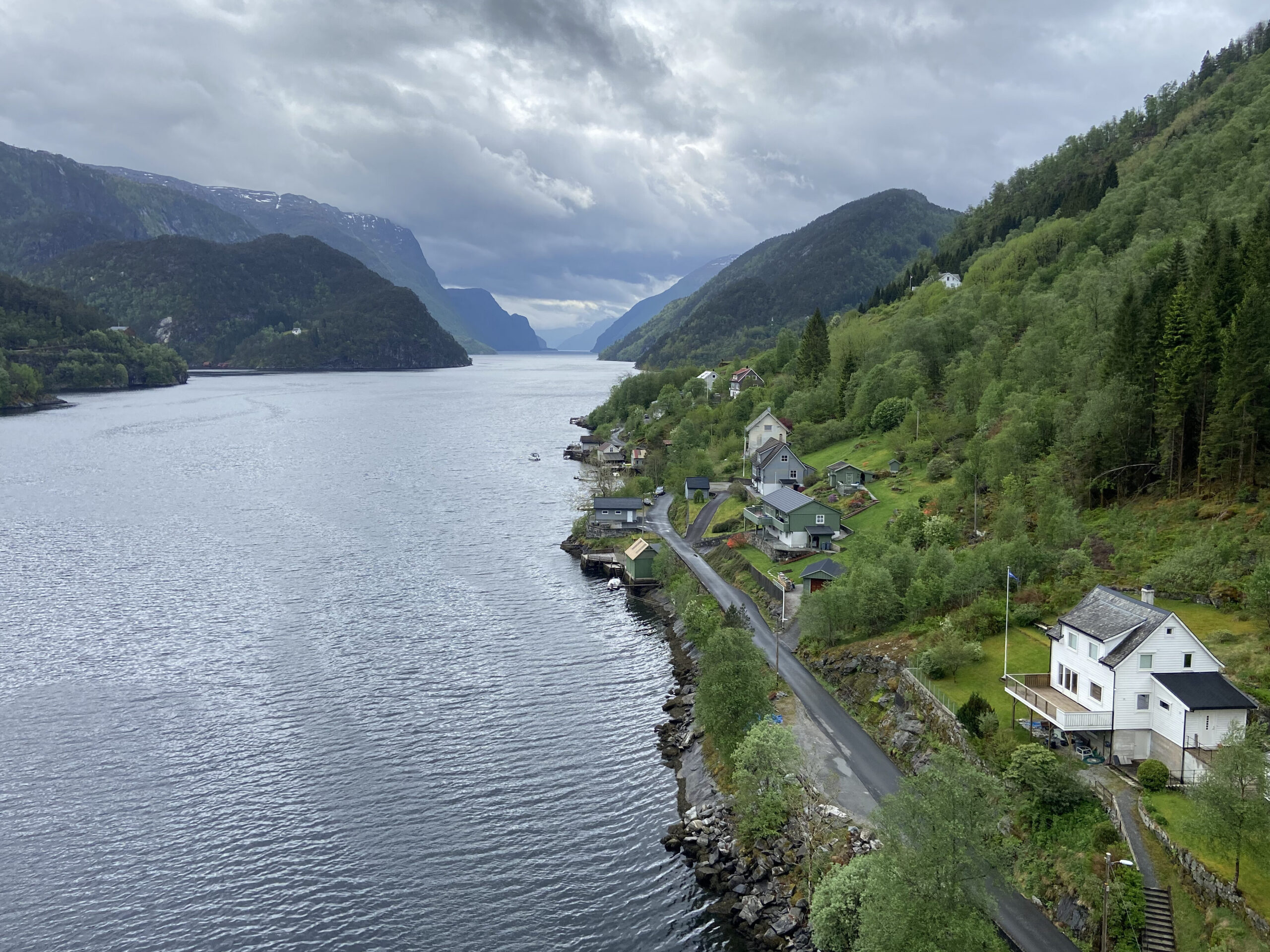
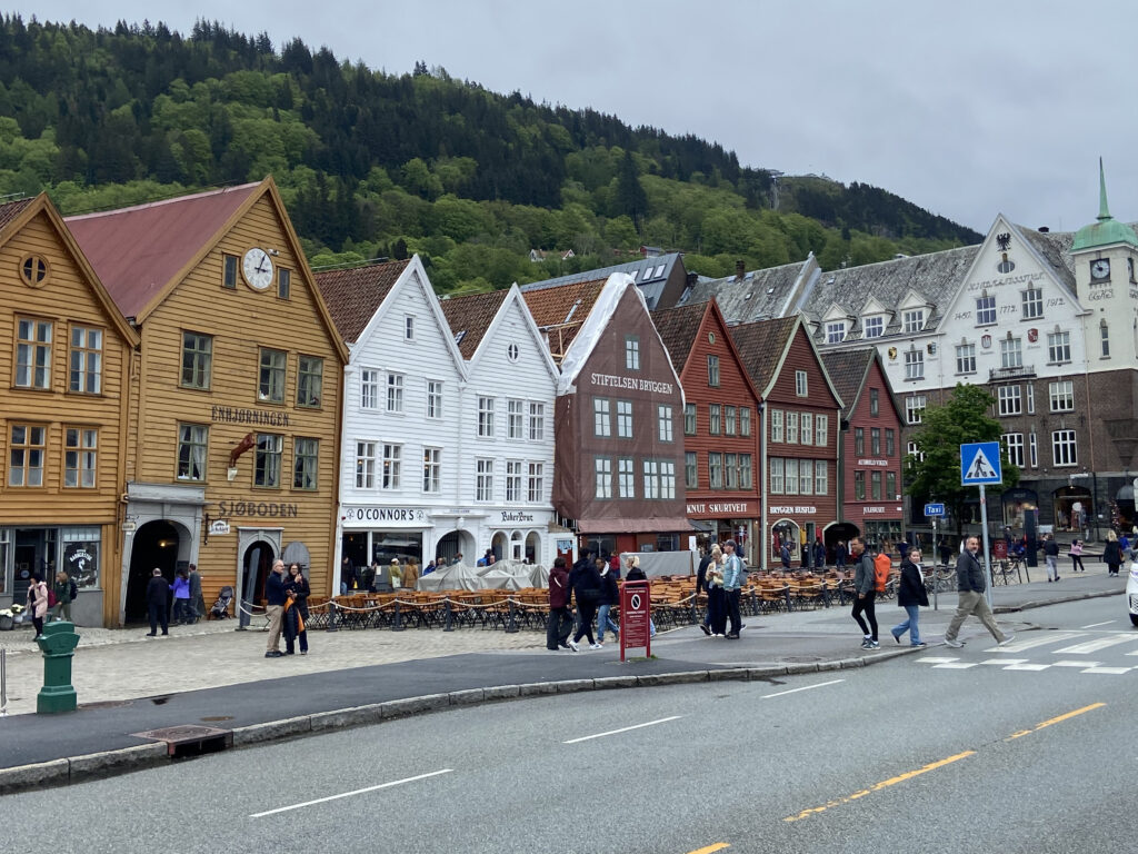
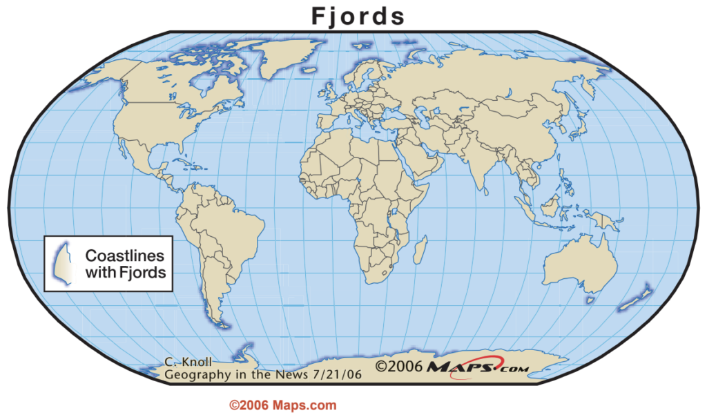
This past month my husband and I spent the better part of a week in Bergen. Not only were we charmed by this port city and its friendly citizens, we experienced the incredible geography of the fjords from both land and sea. This unique physical feature, where fingers of the sea encroach into the mountains, is found in only a few places on our planet, including Norway, Greenland, Chile, New Zealand, Canada and Alaska. But Norway is home to over 1,000 of these marvels, with the Sognefjord being its longest and deepest.
Since Bergen claims to be the rainiest city in Europe, we were not surprised by the misty weather we encountered as we traveled the fjord. However, as the local saying goes, “there is no bad weather, just bad clothing.” Prepared with rain gear and umbrellas, we could savor a true Bergen experience.
Most Norwegians take full advantage of these landscapes where they can hike, ski or simply get away to a family retreat. They told us they embrace the rain as it makes a stunningly green countryside with spectacular waterfalls, which also power hydro-electric production to 88-90% of the country. We were lucky enough to encounter an engineer who had built his own small hydro-electric plant which powered a nearby village!
In “Cruising a Fjord?” Neal G. Lineback explains how the fjords developed through glaciation and how they have influenced the Norwegian way of life. Underneath the stunningly green landscape is a soil that allows little in the way of crop farming, so the resilient people honed their seafaring and fishing skills to survive. Armed with that information, I was able to appreciate even more how resilient the vegetation and the people of Norway have been over centuries of habitation in this most beautiful part of our planet. ~Patricia Hoffman
‘Cruising a Fjord?’
Originally published in the maps.com “Geography in the News” column on July 21, 2006.
Fjords are incredibly interesting geographic features created by complex geologic processes. Almost everyone has seen breathtakingly beautiful photo graphs of cruise ships sailing up the narrow fjords of Norway or the Inland Passage of Canada’s west coast.
“Fjord” (fee-ORD) is a Norwegian word, sometimes spelled “fiord” in English. A fjord is typically a long,
narrow arm of water that extends inland from the ocean and created by a glacier. Its walls are canyon-like, often rising precipitously from the water.
Fjords occupy glacial troughs that are relatively recent landforms. During the glacial period called the Pleistocene epoch, between one million and 10,000 years ago, great continental glaciers formed in both the northern and southern hemispheres. During this epoch, perhaps one-half of the Northern Hemisphere’s land was covered by glaciers.
In North America, these glaciers extended over most of Canada and southward to the Missouri and Ohio
rivers and Long Island, N.Y. In Europe, glaciers moved from the Gulf of Bothnia in Scandinavia southward to cover most of the islands of Ireland and Great Britain and half of Germany. In Central Europe, glaciers extended nearly to the Black Sea and covered most of the Ural Mountains.
The continental glaciers grew outward from their origins by accumulation of additional snow. Snow continued to pile up, forming ice at glacier centers around Hudson Bay in North America and the Gulf of Bothnia. Because of the increasing weight, the glaciers spread outward, or advanced. During periods of advance, the glaciers scoured the landscape. The glaciers were channeled along preexisting valleys initially carved by water, creating the glacial troughs, later to become fjords.
About 18,000 years ago the continental glaciers reached their greatest extent and have been retreating ever since. Only two remnants of these continental glaciers still exist — the Greenland and Antarctic glaciers. But current mountain glaciers, as in the Canadian Rockies, could also be considered remnants.
Although fjords are often thought to be solely the products of glaciation, the processes are much more complex. Normal erosion of the steep lands by water along steep coasts of high latitudes typically created youthful valleys with V-shaped cross-sections at this stage of development.
During glaciation, glaciers flowed down these valleys scouring them. The results are valleys that become troughs with U-shaped cross-sections, some of which extend to the ocean. In the final stages of fjord creation, the glacier retreats, or melts back, allowing the ocean to enter the glacial trough.
Fjords are best developed in polar and west coast marine climates. The polar coasts of Greenland and Antarctica are heavily fjorded. In west coast marine climates, the wind generally blows from the water onto the west coasts at these high latitudes, bringing abundant precipitation. At latitudes poleward of 40 degrees where high elevations exist close to shore, much of the winter precipitation is snow. Hence, glaciers have created fjorded coasts along Canada’s western and Alaska’s southwestern coasts, in Europe’s Iceland, Scotland and Norway, along Chile’s southern coast and Tierra del Fuego (South America’s southern-most island), on New Zealand and even on Australia’s Tasmania.
Fjords make some of the best harbors in the world. Their winding, serpentine patterns and steep valley walls protect ships from both wind and ocean swells. The problem is that few people live at these poleward latitudes. Although such harbors may be used by fishing boats, a few cargo ships and an occasional cruise ship, these natural harbors are in the wrong geographical locations to be heavily used.
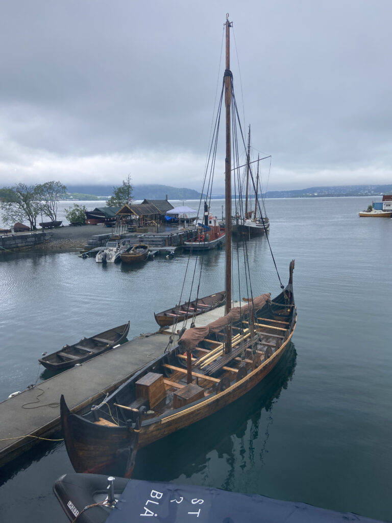
The hearty Norsemen used available fjords for safe refuge during the development of their seafaring skills. To the American cruising tourist, the beauty of fjords absolutely crowns an Alaskan, Norwegian, Canadian, Southern Chilean or New Zealand vacation.