


By Gwen Willems
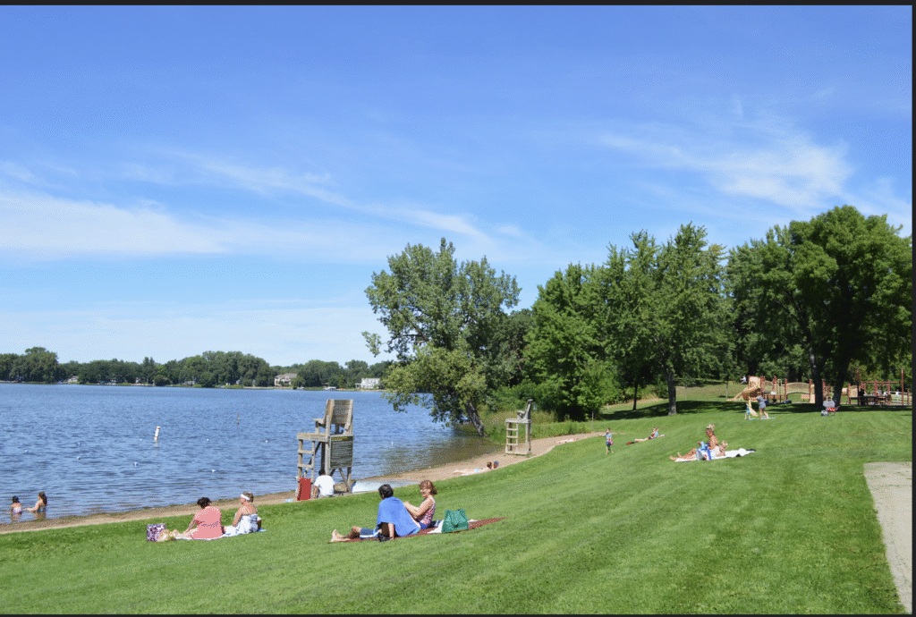
Are you interested in learning more about Roseville’s lakes?
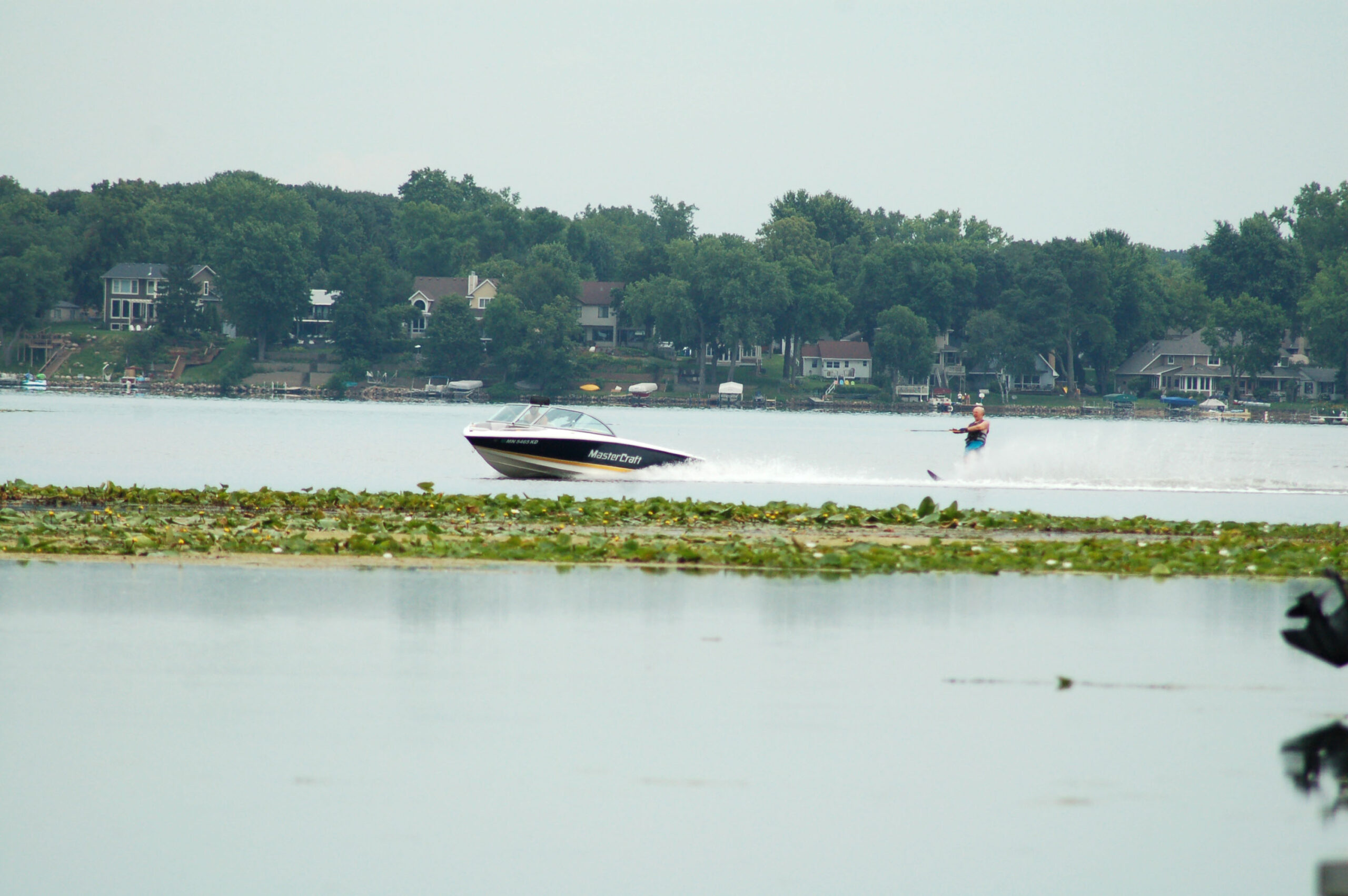
The city has four major lakes that are popular for walking, swimming, boating, fishing, waterskiing and picnicking.
“Roseville works hard to protect and improve the water quality of all of the city’s water resources, as lakes are a community asset,” Ryan Johnson said, environmental manager with Roseville Public Works.
Water quality varies by lake. Three major watershed districts oversee different parts of Roseville — Capitol Region, Ramsey-Washington Metro and Rice Creek — so testing and interventions differ by area.
“Roseville works very closely with the three watershed districts in the city,” Johnson said. “The districts are staffed for the purpose of improving and protecting water quality. Roseville relies on these partnerships to help protect our water resources through education, planning and installation of water-quality-focused projects. The city is lucky to have great partners that care about our surface waters as much as Roseville staff and residents do.”
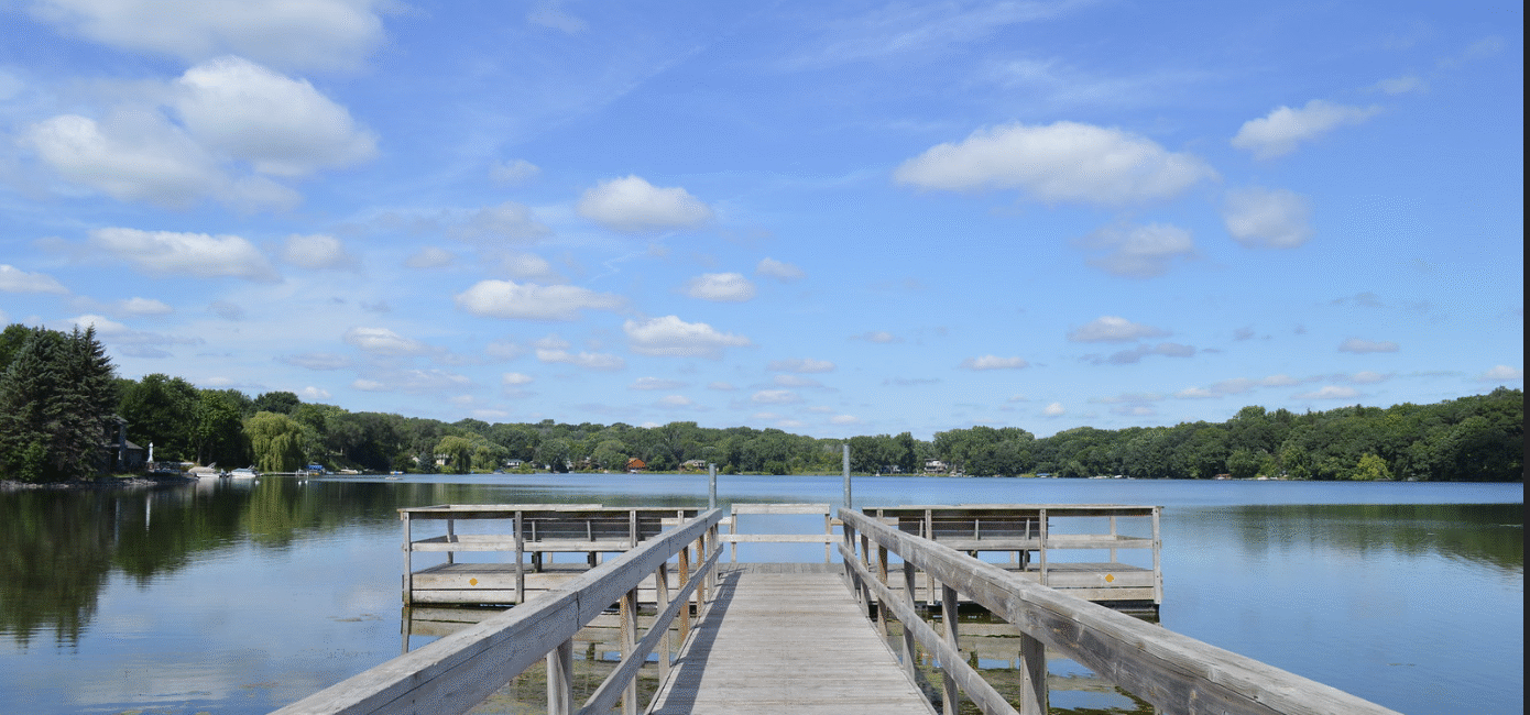
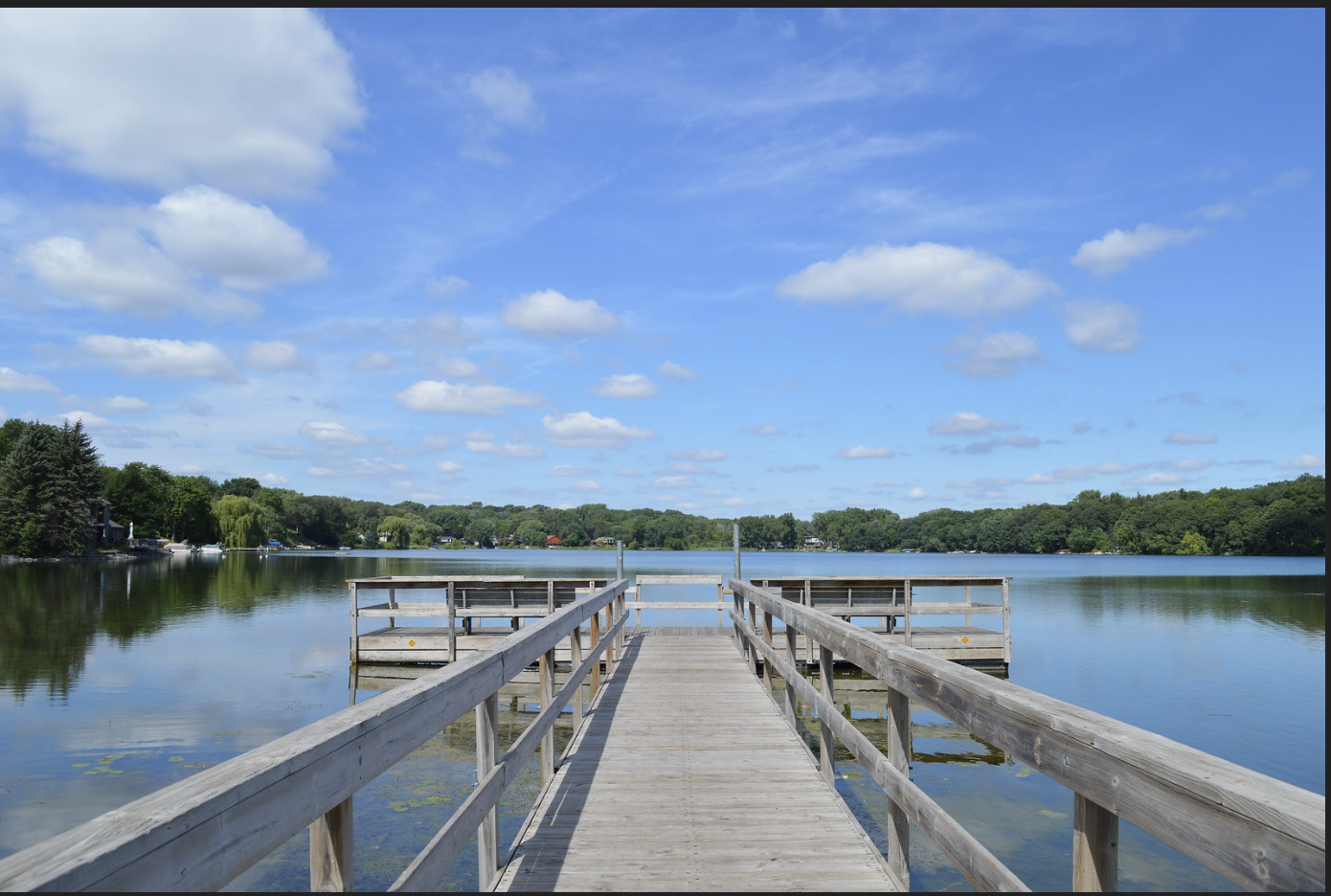
The four most popular lakes in Roseville for recreation are Bennett, Josephine, McCarrons and Owasso.
Lake McCarrons
Location: North of Larpenteur Avenue and west of Rice Street
Size and depth: 72.9 acres; maximum depth 57 feet
Access: North end of the Ramsey County Park (off Rice Street). Fishing pier at the south end.
Fish species: Northern pike, largemouth bass, bluegill, crappie and yellow perch.
Water quality: Suitable for swimming and wading, with good clarity and low algae levels. However, fish tissue contains mercury and PFOS at levels exceeding consumption guidelines.
Management: Includes standard lake surveys and monitoring winter oxygen levels.
Aquatic invasive species: Eurasian watermilfoil and zebra mussels. Boaters are urged to remove plants from equipment.
Watershed district: Capitol Region Watershed District
Other notes: The lake has experienced at least one partial winterkill. Northern pike levels fluctuate; walleye stocking was discontinued.
Lake Owasso
Location: Between Rice Street and Victoria Street, north of County Road C (in Roseville and Shoreview)
Size and depth: 366.35 acres; maximum depth 17 feet
Access: County-owned boat access at the northeast corner via North Owasso Boulevard
Fish species: Walleye, northern pike, largemouth bass, bluegill, crappie, muskellunge, yellow perch
Water quality: Suitable for swimming and wading. Good clarity and low algae levels.
Management: Includes regular lake surveys, walleye stocking (293 pounds annually), muskellunge stocking in even-numbered years, winter oxygen monitoring and aeration.
Aquatic invasive species: Contains Eurasian watermilfoil.
Other notes: Shallow lake with a deep trench along the west shore. Water Skiing is very popular; shore fishing is limited. New regulations limit sunfish take to five per day.
Watershed district: Ramsey-Washington Metro Watershed District
Lake Bennett
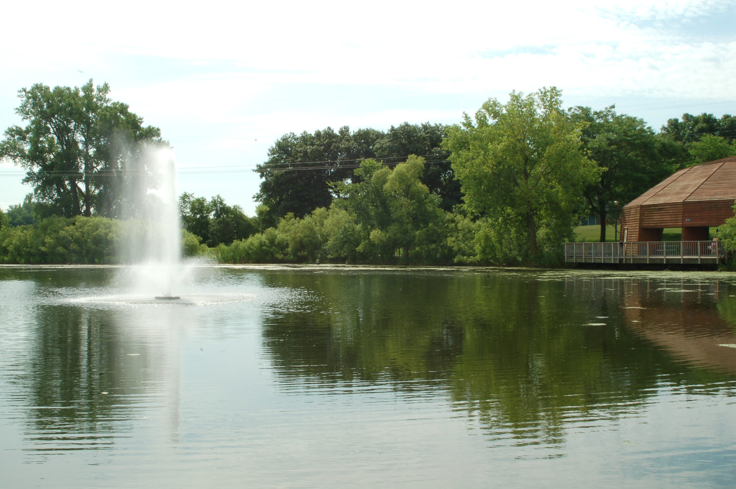
Location: In Central Park at Lexington Avenue and County Road C
Size and depth: 25.63 acres; maximum depth 9 feet
Access: Accessible by bus routes 223 and 227; includes restrooms, picnic areas, playground, and a walking path
Fish species: Bluegill, black crappie, largemouth bass, channel catfish, northern pike, walleye, common carp, bullhead
Water quality: Often unsuitable for swimming due to algae blooms driven by phosphorus. Mercury levels in fish exceed safety standards.
Management: Aerators installed to improve dissolved oxygen. Stocked with walleye, catfish and bluegills.
Watershed district: Ramsey-Washington Metro Watershed District
Other notes: Recommended for shore fishing. New fishing pier has accessible rail sections for children.
Lake Josephine
Location: Along Lexington Avenue, just south of County Road D
Size and depth: 111.23 acres; maximum depth 44 feet
Access: Public boat access near the county beach on Lexington Avenue
Fish species: Walleye, northern pike, largemouth bass, bluegill, crappie, bullhead
Water quality: Generally good for swimming and wading. Mercury levels in fish exceed consumption guidelines.
Management: Standard lake surveys and walleye stocking when surplus is available
Aquatic invasive species: Eurasian watermilfoil
Watershed district: Rice Creek Watershed District
Other notes: Small lake with limited access. Stocking aims to increase angling opportunities.
Water Quality Challenges and Outlook
Water quality remains an ongoing concern, especially when it comes to phosphorus, the main pollutant stressing local lakes.
“Phosphorus in abundance can cause algal blooms,” Johnson said. “Bennett Lake and Little Lake Johanna are the most impaired. These lakes have large algae blooms in summer, which can cover a majority of the surface. Bennett is a shallow lake, and dissolved oxygen levels drop as algae die back.”
To address this, Roseville operates several aerators in Lake Bennett to protect fish populations.
Other ongoing concerns include aquatic invasive species (such as curlyleaf pondweed, carp and zebra mussels), summer algae blooms, and contamination from PFA S— “forever chemicals” being monitored by watershed districts, the Minnesota Pollution Control Agency and the Department of Natural Resources.
Despite these issues, Johnson is optimistic.
“From educating the public to managing our parks and open space, to street sweeping and installing stormwater projects — the city spends a lot of resources to improve water quality,” he said. “The Roseville community takes a lot of pride in their city, and with the residents’ help, Roseville can have a very successful story around water quality in local lakes.”
Information compiled in this article came from the City of Roseville, the Minnesota Pollution Control Agency, the Minnesota Department of Natural Resources, and the three watershed districts in the city.


